


Solar infrastructure data
Buildable acreage, exclusion zones, IRA, & energy community layers
-
Interconnection queue & site control data including mapped outlines of queued & optioned/leased projects with associate documents and contact information
-
Available Transfer Capacity (ATC) heat mapping, bus locations, estimated upgrade costs, proprietary case models, and injection studies
-
The most accurate solar & electrical infrastructure data, including transmission lines, queued projects at the substation level, live PPA & LMP data, and government incentives.
-
Buildable acreage, exclusions zones, and complete topography data.
-
Government owned and managed lands
-
Identify existing agrivoltaic projects
(Crop Production, Habitat, Grazing, or Greenhouse) -
LandGate's breadth of industry data allows for colocation strategies, see more about solar and data center solutions here
End-to-end solution for land origination & deal management
Achieve higher closing rates for your greenfield site selection by using the most accurate solar data, best parcel data and a modern map-based CRM
-
Search parcels based on advanced criteria such as distance to substation, transfer capacity, and more.
-
Manage your deals in a map-based CRM
-
Access the most accurate parcel data & ownership information
-
Targeted high-conversion mailer marketing campaigns

Get LandGate's 25TB+ of insights via our AI Data Agent
Solar farm due diligence
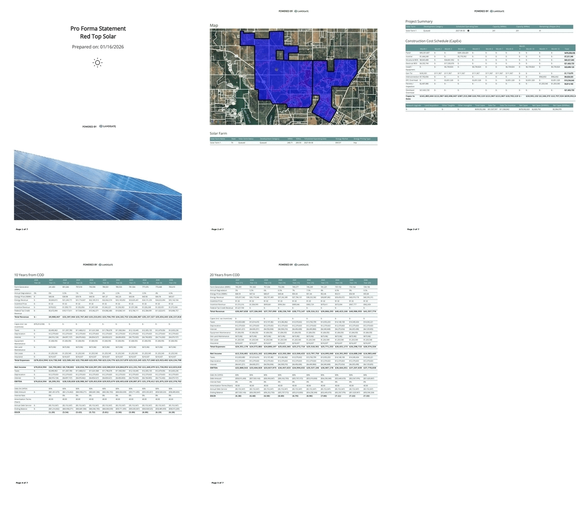
Model full utility-scale solar projects instantly.
-
Get your solar projects into the queue & financed faster
-
Determine buildable area with custom setbacks/exclusions & exportable pricing data
-
Evaluate any solar project in minutes with fully integrated data and potential revenue modeling
-
Site analysis, due diligence, and feasibility studies utilizing outputs for interconnection queue submissions or utility RFPs
-
Industry standard outputs & economics including 8760 reports and complete feasibility studies



Ready-to-close solar leads
Hit your acquisition goals with nationwide solar deals and leads directly from landowners and real estate agents.
-
Over 100 million acres sourced
-
Negotiate directly with landowners
-
Active alerts of solar leads matching your criteria
-
Access to institutional landowners & MLS
-
Acquire solar rents & royalties
-
Dedicated support staff to help source government leads and contacts
Frequently asked questions


